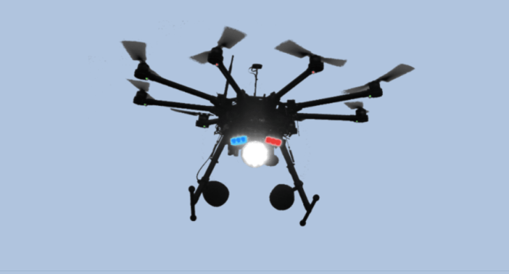
UAV / Drones with GIS mapping
Benifits :
Remote sensing and photogrammetry
Surveying & mapping of earthquakes
Surveying & mapping of plane crashes
Surveying & mapping of storms and hurricanes
Tidal mapping
Mapping of industrial zones
Mapping of excavation sites
Surveying & mapping of flooding
Surveying & mapping of train crashes
Photogrammetry
Mapping of the spread of algae Forestry surveying Mapping of Vegetation

GIS services using UAV/ DRONE
Surveying & mapping of landslides
Surveying & mapping of tsunamis
Agriculture - GIS applications
Arctic research - surveying
Geophysical mapping
Mapping of coastal areas
Surveying & mapping of catastrophes
Surveying & mapping of mudslides
Surveying & mapping of volcanic eruptions
Agriculture – mapping plant growth
Mapping shifts in sandbars
Mapping sandbar measurements
SURVEYING / GIS
Mapping zones/areas etc. are an important part of Geographic Information Systems, and one which is simplified primarily by the use of microdrones
Mapping zones/areas etc. are an important part of Geographic Information Systems, and one which is simplified primarily by the use of microdrones
MAPPING MADE EASY
Compared to conventional aircraft, using a microdrone to carry out such mapping tasks is much easier and more efficient.
Several macros are integrated into the mdCockpit application software, which take away much of the effort in planning a mapping job. Using a particular macro, the flight path over a specific area can be generated automatically, for example. It is also possible to export the route to Google Earth™ to get a better overview of the route.
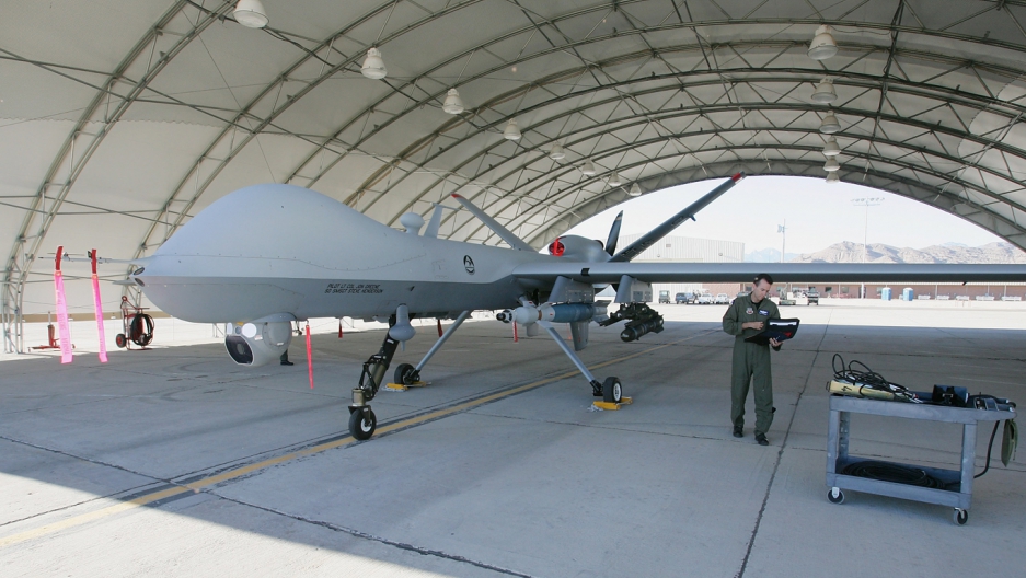
GIS & Mapping with fixed wing drones


 We have complete know-how of Drone technology and also the marketing skills to capture the global market. We are looking for a sound investor/organization/company who will be interested in this venture.
